Saturday, May 20, 2017

California Dirtbagging (aka Car-camping in the Santa Monica Mountains) Part 2


Saturday March 11 – Sunday March 12:

After hiking and running all day, I ate dinner and headed over to the Chumash Trailhead near Mugu Point. There I linked up with the Dirtbag Runners to support the Coyote Backbone Ultramarathon at the mile 86.5 aid station. We set up the aid station around 8pm but didn’t see a single runner until 1am Sunday morning when Tomokazu Ihara, from Japan, came flying down the trail from Mugu Peak. Ihara looked extremely fresh for someone who had just ran 86.5 miles with a gain of roughly 15,000 feet. Surprisingly he had done so with nothing more than a single hand-held bottle. He ate some snacks, refilled his water bottle and was headed back up the trail just 9 minutes later. We found out later that he had won with a time of 21:47:13. Roughly 30 minutes later, Andrew Glaze came in to refuel. He too looked surprisingly fresh. We had to wait 4 more hours before seeing another light coming down from the summit. This time it was Marshall Howland followed by Derrick Carr and Gregory Frye. About another hour passed and finally as the sun came up we got word to pack up as all other 100 mile entrants had dropped from the race.


After packing up we drove back to the finish line at LaJolla Group Campground. There I had the pleasure to meet Luis Escobar. Yes…“The Luis Escobar” of Born to Run fame. It was then that I was officially blessed into the Dirtbag family with the passing around of a bottle of Fireball! We watched as runners continued to come in finishing both the 68 mile and 100 mile courses. The official results for the 100 mile were as follows: Tomokazu Ihara (Japan) 21:47:13, Andrew Glaze (CA) 23:38:38, Marshall Howland (CA) 26:25:36, Derrick Carr (VA) 27:18:57, and Gregory Frye (CA) 27:20:08. I hung out the rest of the day with my new tribal family, eating, drinking, laughing and sharing stories of trails past. Once everything was packed up we had to vacate the campgrounds as Park Ranger Perez needed to lock the gates for the night. When I told her that I needed to find a free place to car-camp for the night she suggested parking on the shore at Mugu Point. This was great advice as it was absolutely beautiful. I ate a couple sandwiches and washed them down with some more Guinness and Fireball as I listened to Zeppelin music and watched the moonlight glistening off the water as the waves rhythmically crashed into the rocks below. It was a great end to an amazing day and a half. When I finally slid into my sleeping bag I was asleep almost instantly.
 

Monday March 13:

When I awoke at 7am I looked out the back window and couldn’t see the ocean which was barely 30 feet away. A thick fog bank, reminiscent of John Carpenter’s 1980 horror film The Fog had rolled in overnight blanketing everything. I slipped back into my sleeping bag figuring an extra hour might give the fog time to burn off. Ok, I really just wanted another hour sleep but the fog gave me a good excuse. The fog was just as thick at 8am so I got up and headed back over to Chumash Trailhead so I could climb Mugu Peak before heading back to LAX for my 2pm flight back to NJ. The Chumash Trail gains approximately 1000’ in the first 0.9 miles before finally leveling off somewhat just below the 1266’ summit. This was the same section of trail the 100 milers had to run up after our aid station Sunday morning. I had a new found respect for what they must have been feeling. From the summit I had great views of the other mountain tops but not much else as the thick fog bank still covered everything below. After returning to my vehicle I reluctantly headed south toward Los Angeles. Luckily, I stopped off at Vintage Grocers across from Zuma Beach to get a salad and to check the status of my flight. The American Airlines support person apologized numerous times as she informed me that all flights back to Philadelphia were cancelled due to a snow and ice storm back home. It seemed I was stuck in sunny California another day, darn!


 The morning fog as seen from Mugu Peak.
John Carpenter’s The Fog (1980).
 
Instantly I got my maps out and planned out the rest of my day. I ate quickly and drove to nearby Zuma Ridge Trailhead. I filled my pack with snacks and water and up I climbed for nearly 4.5 miles before cresting at Buzzards Roost Ranch at just over 2400’ elevation. I found a really cool spiral rock formation someone had built on the peak.


After hanging out at Buzzard's Roost for about an hour I ran back down to the car and headed north to my next destination, Rocky Oaks Park. Rocky Oaks is tiny compared to the other parks I had visited the previous days but it was still fun exploring. I left the parking lot and ran to the west along a trail that ends with a sign warning that you are entering private property. At that point 
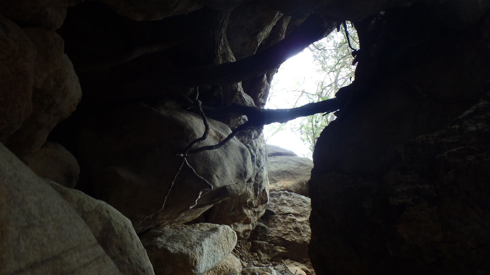
I found some large rocks piled on top of each other that had formed a low tunnel with a stream passing through it. After crawling through, because it was there, I followed the Rocky Oaks Loop Trail to the Overlook which sits just slightly over 1860’. From there I followed the loop around a small pond and then returned along the beautiful Glade Trail. All together it was just barely over a 3 mile loop.


From there I drove along the Mulholland Highway to Woodland Hills where I was able to fulfill my craving for tacos. I camped in the McDonalds parking lot until it was time to go to LAX. Unfortunately, flights to Philadelphia had resumed so my trip had to come to an end. It was a short trip but I jammed a lot into it and had a great time doing so. I explored new trails, bagged some peaks, and met some fantastic people along the way. I definitely plan to Dirtbag my way around the Santa Monica Mountains again in the near future. I hope you enjoyed this blog and I highly recommend car-camping the Santa Monicas if you get the chance. Here's a few more memories from the race. Until next time, keep it dirty!


Saturday, May 13, 2017

California Dirtbagging (aka Car-camping in the Santa Monica Mountains) Part 1


Friday March 10, 2017:
When my alarm went off, instead of seeing my familiar bedroom walls, I opened my eyes and saw the ceiling of my new temporary home, a rented Toyota Rav-4. I had arrived at LAX at 1am, rented the SUV and driven to the West Hills Walmart where I car-camped for the rest of the night. When they opened their doors at 7am, I was in and out in 30 minutes with everything I needed for the next few days. I flew to California to link up with my fellow Dirtbag Runners who were supporting the Coyote Backbone Ultramarathon and to explore the Santa Monica Mountain Range.

Armed with a GPS and trail maps I had printed back home, I headed to Saddle Peak, the second highest peak in the Santa Monica Range. I had mixed feeling about this area. While it did offer great views of the surrounding hills, there were too many houses in view for my liking. I prefer more remote locations. I spent a couple hours exploring the area, running part of the Backbone Trail, taking photos, and having an early lunch consisting of my favorite meal, a peanut butter and onion sandwich and a Guinness. After my lunch I hit the smaller peaks across the road including “The Lookout” and around an abandoned AT&T communications tower. The views of the mountains and canyons along Piuma and Malibu Canyon roads were beautiful.


My next stop was Solstice Canyon (Solstice Canyon map) located between Malibu Bluffs and Point Dume. The canyon offers much more challenging terrain with deep canyons and very steep climbs. There are a couple of ruins located in the park. The Keller House is a stone cottage built around 1865 and believed to be the oldest stone building in the Malibu area. Further up the main trail is the ruins of Robert’s Ranch. This house once included multiple fireplaces, a pool, waterfall, and even a bomb shelter. Horseshoes and fossils can be found in the foundation and walkways as well as several statues hidden among the trees on the hillside. The Sostomo Trail climbs quickly from the ranch and disappears into the upper canyon. At one point I left the main trail and followed the sound of running water. It was there that I found a small remote waterfall and several small caves to explore. I took a quick dip in the stream and then continued climbing up to the Deer Valley Loop. After returning back to Robert’s Ranch, I crossed the stream and followed the Rising Sun Trail to the TRW Overlook and eventually back down to my home on wheels. If visiting Solstice Canyon Park be aware that the main gate gets locked around sunset so plan accordingly.


After leaving Solstice Canyon I continued driving north-west on the Pacific Coast Highway to my final destination of the day, LaJolla Group Campground. The race director for the Coyote Backbone Ultra had reserved the group area for a limited number of supporters and runners. I found a place to park, made contact with some of the runners and then retired to the back of my vehicle for some dinner. I made a couple more peanut butter and onion sandwiches and washed them down with a couple well-deserved cans of Guinness before slipping into my sleeping bag for the night. Did I mention I brought a couple jars of my favorite peanut butter with me to California? I absolutely love the all-natural peanut butters offered by the Vermont Peanut Butter Company. It’s made in Vermont, like me, so you know it’s good. Check them out at https://www.vtpeanutbutter.com/index.php/ No I don’t get paid to say that, it’s just that good! Seriously!
Saturday, March 11, 2017:
I awoke to another beautiful California day. It was sunny and about 55 degrees which felt great since it was only about 30 degrees back home in New Jersey. I had great views of the Pacific Ocean to my front and the mountains to the rear. It’s easy to understand why people fall in love with this area. I made a few sandwiches, looked over the trail maps and plotted out a plan for the day and then headed south along the Pacific Coast Highway for more adventures. I turned left up Decker Road (Route 23) which quickly climbs into the mountains. This winding road is much like the other, full of sharp winding turns, huge drop-offs and absolutely gorgeous views. I then turned left onto Mulholland Highway and then right onto Little Sycamore Canyon Road to my first destination of the day, God’s Seat. This rock is very close to the road; but, lacking any signage, it could be very easy to miss. The view was fantastic, minus the houses, and its 1000 foot drop-off definitely added to my excitement.
My next stop, and the main focus of the day, was at the Sandstone Peak Trailhead (Circle X Ranch map). The trail climbs for about 0.3 miles where it connects with the Backbone Trail. I turned right and followed the Backbone for about 0.2 miles more before turning left onto the Mishe Mokwa Trail. This trail was easily my favorite of my trip. Echo Cliffs and Balanced Rock can be seen on the other side of the canyon on the way to Split Rock picnic area. From here I took an unimproved trail along the steep hillside to Balanced Rock and then down to Echo Cliffs where I hung out with a group of rock climbers for about an hour.


Departing the climbers, I climbed back up to Balanced Rock where I saw a rattle snake warming itself on the trail. Surprisingly this was the only snake I saw the entire trip. When I returned back to Split Rock I sat in the stream and cooled off a bit before heading toward Tri-Peaks. From this point the Mishe Mokwa opened up into the unrelenting heat of the mid-day sun. Tri-Peaks was fantastic, quiet and remote. I only saw 4 people the entire 3 hours I explored the area. I met a local woman on one of the peaks that said it was her favorite part of the park due to it being so far off the main trails.


From Tri-Peaks, I returned to the Backbone Trail. I temporarily turned off, to the right, and climbed up Water Tower Hill (not its real name). From here I had a great view of Sandstone Peak off in the distance. I met a very nice newlywed couple, Ray and Lisa from Utah on top of Inspiration Point (2800’). They had married just 3 days prior and flew out to California to honeymoon in the Santa Monica Mountains were they had first met a few years ago. I quickly left them to do whatever it is that honeymooners do on a private mountain top. My next stop was the focus of the day, Sandstone Peak sitting above everything else in the range at 3111’. Sandstone, also known as Mt Allen, was bustling with people. I found a place to sit and enjoy a good peanut butter and onion sandwich and a couple cans of warm Guinness. As beautiful as this peak was, I definitely was missing the remoteness and quiet of Tri-Peaks I had enjoyed earlier. After returning to my car, I drove back to LaJolla Group Campground for dinner. There I also link up with Justin, who would be supporting the race at mile 86.5 aid station with me over night.


 (Since this rock didn't have a name, I named it "Sparta Rock" after my dog, Traildog Sparta.)