Showing posts with label New Hampshire. Show all posts

Monday, July 24, 2017

Monadnock 8 Peak Single Day Challenge


I had the pleasure of growing up in beautiful Bellows Falls, Vermont located on the west bank of the Connecticut River with equally beautiful New Hampshire on the other side. While we didn’t have any huge mountains like the Rockies or the Alps, Vermont and New Hampshire do have hundreds of beautiful mountains and thousands of miles of great trails to explore. One of my three favorite mountains to run and hike on was Mount Monadnock located in southern New Hampshire between the towns of Marlborough, Dublin, Jaffrey and Troy. Its rocky peak stands at 3,165 feet with a prominence of more than 2,100 feet over the surrounding lands. The Abnacki Native Americans that lived in the area called the mountain “Monadnock” which literally means “Mountain that stands alone”. Monadnock is located within the Monadnock State Park which includes over 5,000 acres of protected land and over 40 miles of marked trails. It is said that Monadnock is the second most climbed mountain in the world behind only Mount Fuji in Japan.
 
I returned to Monadnock on Saturday July 16, 2017 with a different goal than any time before. Instead of following the usual White Arrow Trail to Grand Monadnock Peak and back, on this day I would visit the lower four peaks as well. While scrolling through the challenges on https://peakery.com I recently found the “Monadnock 5 Peak Challenge” which they state is usually attempted as a day hike. Since I planned to combine hiking and running, I would add to this challenge and create my own personal challenge. I added the three Pack Monadnock Peaks as well since they are located less than 20 miles to the east. And so, on this day, the Monadnock 8 Peak Single Day Challenge was born.
 
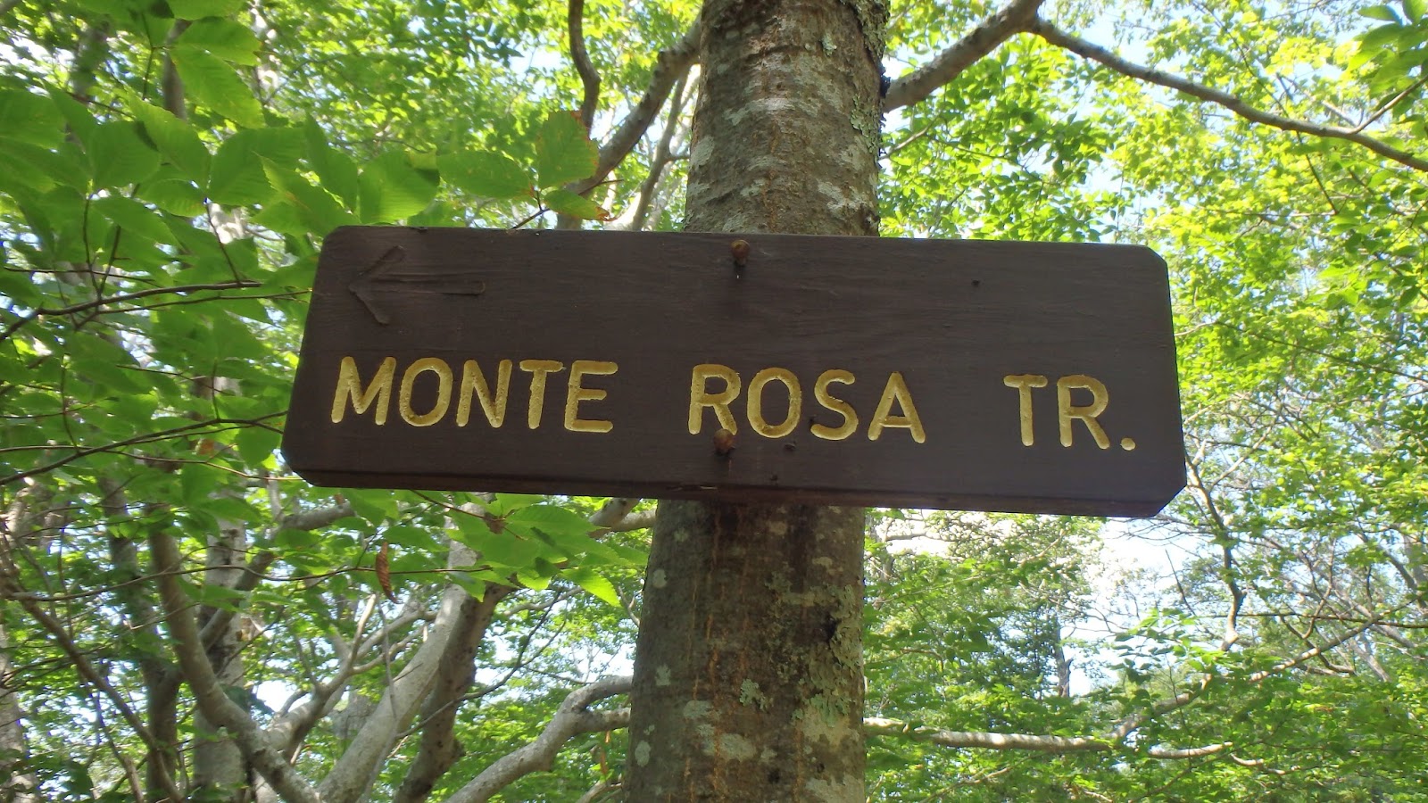
I arrived at the Old Toll Road trailhead parking lot about 8 am and paid the $5 summer parking fee. Now before I bore you with the rest of my adventure I feel I should warn those of you that prefer to hike or run with your dog, like I do, dogs are not allowed on Mount Monadnock. Now with that said, up we go! At the trailhead you can follow the Old Toll (dirt) Road or do as I did and take the far less travelled Old Halfway House Trail just to the left. Whichever you choose, they both merge just below the site of the Halfway House which stood there from 1860 to 1954. From this point I took the Monte Rosa Trail on the left to my first peak. The trail immediately climbs steeply over roots, rocks and at times near cliff-like inclines. The views from Monte Rosa’s 2,540 foot summit were well worth the effort. I rested there for about a half hour and ate one of my usual peanut butter & onion sandwiches before continuing my climb.


After leaving Monte Rosa I followed the Smith Summit Trail for a little ways before taking a right onto the Amphitheatre Trail and then a left onto the very busy White Arrow Trail. The White Arrow Trail, while probably the easiest route, does include some very steep sections before arriving at Grand Monadnock Peak. Unlike Monte Rosa, I had to share the 3,165 foot peak with a couple hundred others. The views were just as amazing as I had remembered. On a clear day you can see parts of all six New England states including Mount Washington and the Boston skyline.


From Grand Monadnock I ran down the Dublin Trail to Dublin Peak. This peak sits only a couple hundred yard away 3,041 feet elevation.
 
 
Since the view was basically the same I immediately ran back up over Grand Monadnock, turned left and headed down the Pumpelly Trail. This trail is marked with large cairns (large piles of stone) about every 100 yards or so. Town Line Peak is about a mile away and sits at 2,884 feet. Like Monte Rosa, I had this peak to myself as well. I sat on the cliff’s edge for about a half hour watching a group of hawks float effortless below me. I then ran/hiked back up to Grand Monadnock Peak for my third and final time before heading to my fifth peak, Bald Rock.  


From Grand Monadnock, I climbed down the busy White Dot Trail, turned right onto the White Cross Trail, and right again onto the Smith Connecting Trail to Bald Rock. Although the Mount Monadnock Hiking Trails map (attached) lists this peak as Bald Rock there is a huge boulder with its real name, Kiasticuticus Peak, engraved in it. From Kiasticuticus I climbed down the aptly named Cliff Walk Trail. Cliff Walk ends at the Parker Trail. I turned right following Parker Trail back to the Old Toll Road and finally back to my car. In all, I hit all 5 Monadnock peaks and travelled 8.2 miles. I ate a couple more peanut butter & onion sandwiches, washed them down with a warm Guinness and then headed over to Miller State Park for the Pack Monadnock portion of my challenge.


Miller State Park is located off of Route 101 near Peterborough, NH. This park was created in 1891 making it New Hampshire’s first state park. The trailhead begins at the right rear of the parking lot near the toilets. From there you can access the first summit by following the paved road or climbing the Wapack Trail (yellow blazes) or Marion Davis Trail (blue blazes). I took the Wapack Trail to the left since the Wapack crests all three peaks. While the Miller State Park at Pack Monadnock map (attached) lists only Pack Monadnock (2,290 feet) and North Pack Monadnock (2,276 feet), Middle Pack (1,968 feet) is clearly seen in the photo below. The first half mile of the Wapack is very steep climbing rocky ledge before leveling off somewhat before the final push to the summit. There is a 30 foot fire tower at the peak from which you can see the Majestic Mount Monadnock to the west, Mount Washington to the north and Boston once again. The Wapack continues north just to the left of a stone shelter. There is a sign marking your arrival on North Pack Monadnock but that’s about it. I took the Wapack Trail back to Pack Monadnock and then Marion Davis Trail back to the parking lot. My total mileage for this hike was 7.5 miles.


(See, Middle Pack Monadnock does exist. Take that you...map!)
(Mount Monadnock to the west)


So there you have it, the Monadnock 8 Peak Challenge: Monte Rosa (2,540’), Grand Monadnock (3,165’), Dublin Peak (3,041’), Town Line Peak (2,884’), Bald Rock or Kiasticuticus Peak (2,628’), Pack Monadnock (2,290’), Middle Pack Monadnock (1,968’) and North Pack Monadnock (2,276’). If you are ever in southern New Hampshire go check them out. You won’t be disappointed. Here’s a few  more photos.


Monday, August 5, 2013

Fall Mountain 03 Aug 2013


After months of knee pain followed by surgery, I finally used my newest pair of Inov-8 Bare Grip 200s last weekend. Now they look just like my old pair, muddy! I love these shoes. They have superior grip and with no midsole and zero drop these shoes offer amazing feel for the trail. This past weekend I returned to my roots in Vermont. As a teen, a couple times each week I’d run from my house in Bellows Falls, Vermont to the top of Fall Mountain ( Mount Kilburn)located across the Connecticut River  in North Walpole, New Hampshire. I would hang out there for hours eating my peanut butter and onion sandwiches and watching the hawks float effortless below. The mountain’s 1120 feet of elevation is not large but the old carriage road has sections exceeding 30 degree inclines to raise your heart rate along with a seemingly endless supply of loose rocks. Inclines of 70-80 degrees await the adventurous who assault up the face. There are lots of single track trails, logging roads, and power lines traversing the ridge but the most popular spot is the Table Rock overlook. It offers close to 180 degree views of the Connecticut River valley and my home town of Bellows Falls. I’ve been disappointed for so long not being able to run but that all changed on this day. It felt awesome to be jogging and to be back on the mountain. I have renewed optimism.  I can’t wait for my next run!


Friday, July 26, 2013

My Single Day Run around New England (aka. 30 miles, 6 states, 1 day) 20Oct93


            When I awoke October 20, 1993 I knew it was going to be a special day. Unlike the normal work Wednesday this day I had a goal. I was going to run at least 5 miles in all 6 New England states in 1 day. Since I had decided the evening before to do this it would prove to be a solo adventure. While I enjoy running alone I wasn’t looking forward to all the driving it would require. Other than the loop I ran from home all others would have to be run as out-and-backs. I would pick a landmark and park my car at least 2.5 miles away.

Leg 1: Keene, New Hampshire. I woke up at 4am, got dressed and re-checked the bag I had packed the night before. At 4:30am I headed out to begin run number one. Other than the skunk I came face-to-face with the run went quick and uneventful. Luckily the skunk didn’t mind sharing the road with me as we greeted each other with a quick raise of the head and continued on our own quests, mine being 6 states and his being the neighbor’s trash barrel. When done I showered, ate some breakfast and headed for Vermont.

Leg 2: Brattleboro, Vermont. This run would be on familiar roads. About 6:45am I parked my car at the entrance to the Brattleboro Country Club Golf Course on Upper Dummerston Road. This was also the site of the Red Clover Rover Running Club’s annual Turkey Trot. The road rolls gently past farms and single family country houses. It’s a peaceful run any time of the day. The only memorable thing besides the rain was seeing fellow Red Clover Rover Hank Lange running the other way. Hank Lange is an Ironman triathlete, triathlon coach and personal health, wellness and fitness coach. Unlike the quick raise of the head exchanged with the skunk earlier, we greeted each other verbally as he flew past me. Knowing Hank back then, he was probably completing 30 miles before his breakfast while my 30 miles was going to take all day. With two states done, I ate a snack and then drove south on Interstate 91 to Massachusetts for round three.

Leg 3: South Hatfield, Massachusetts. At 8:45am I parked on the side of the road and used the huge, newly built C&S Wholesale Grocer’s warehouse as my turnaround point. While the rain I experienced earlier had died down to a light drizzle, the wind was picking up some but not enough to make a difference. The run went smooth and I was very happy to be half done. I changed into dry cloths in my car and continued south on I-91 into Connecticut.

Leg 4: Stafford Springs, Connecticut. I exited I-91 at exit 47 and headed east on Route 190 passing through Hazardville (not associated with the Dukes of Hazard) and Somers before finding my next landmark. I drove east on Route 190 (Buckley Hwy) and parked my car in the edge of someone’s dirt driveway. It was a beautiful run down into town and then back up to my car.  I did experience some minor knee pain but nothing to worry about. I changed into more dry cloths and ate a couple peanut butter and onion sandwiches and headed for Rhode Island. As I drove east I was glad I had brought the sandwiches because the onion smell was covering up the wet dog smell coming from the backseat that I realized was actually my pile of sweaty cloths and shoes.

Leg 5: Smithfield, Rhode Island. I drove east on Rte 190 and 197 to Webster, MA where I stopped for a huge juicy cheese burger and fries. Then I drove south on I-395 past beautiful Lake Chaubunagungmaug, or as I called it Lake What-the-F???. Then I turned east again along Rte 44 into Smithfield, Rhode Island home of the Bryant University Bulldogs. My run seemed to fly by as I realized I only had one more state to finish. I hesitate to say the road was hilly since the maximum elevation in RI is a mighty 811feet so I will call it gently rolling non-level. It was a great run.

Leg 6: Kittery. Maine. Now came the longest drive of the day. My plan to cruise up I-295 and then I-95 into Kittery proved to have one slight drawback, Boston home to my beloved Red Sox, Bruins, Celtics, and Patriots I was making great time until I hit the traffic jam from hell. It took over 4 hours to drive just 120 miles. By the time I reached Kittery my knees had swelled and my legs were tighter than a pair of daisy dukes. I measured 2.6 miles from the Kittery Circle to Fort McClary, which was built in 1808 as a coastal defensive fortification. I struggled the first couple miles as my legs felt like they weighed a ton. It was the hilliest of my runs but when I turned around at the circle all the pain went away. I attacked the final hills back up to the fort. I arrived back to my car just before 6:30 pm and cracked open a warm beer to celebrate. My quest had taken me over 14 hours, thanks to the Boston traffic but it was finally over, 30+ miles, 6 states, 1 day. My run around New England was complete.

The inspiration to do this came from my high school running coach. He ran 10 miles in all six New England states in one day. Luckly his wife helped drive so he could rest between runs.
 

Thursday, July 25, 2013

Border-to-Border 20 Miler 19Feb94


The Border-to-Border 20 Miler was a point-to-point race run in three states (Maine, New Hampshire, and Massachusetts), through seven towns, all in one race. Starting in the hills of Kittery, Maine runners passed through the New Hampshire villages of Portsmouth, Rye, North Hampton, Hampton and Seabrook and finished in Salisbury, Massachusetts.

The February 19, 1994 race was a memorable one for many reasons but mostly due to the incredibly warm weather on race day. Northern New England had been experiencing sub-freezing temperatures and severe wind-chills for a week leading up to race day. Miraculously, that all changed, as we were blessed with sunny mid-thirties temperatures and no wind. It was a perfect day to run 20 miles. The warm weather brought out twice as many runners as were expected which caused a logistical nightmare for the race staff as they shuttled runners from the finish area in Salisbury, MA to the start point in Kittery, ME. The extra bus trips delayed the race about an hour. Then as we lined up to begin the race, word came in that a draw-bridge near the start had gotten stuck open which added another 30 minute delay.  Once fixed the race director got us re-set and the gun went off. The course passed through historic districts, wooded areas, and salt-water marshes. We also passed numerous mansions, small cottages, surf and t-shirt shops, and finished at a crab shack. It was a true coastal experience. Instead of the usual race t-shirt, we all received ski hats which were quickly put to good use as the temperature dipped below freezing once again by the next morning.   

This race is now known as the Eastern States 20 Mile and the course remains roughly the same except for deleting the Kittery, ME portion. It now includes 2 states and six towns. If you are looking for a fast late-winter 20 miler this race is worth checking out. Next year’s race day will be March 30, 2014. The official race site is: http://www.easternstates20mile.com/