
I had the pleasure of growing
up in beautiful Bellows Falls, Vermont located on the west bank of the
Connecticut River with equally beautiful New Hampshire on the other side. While
we didn’t have any huge mountains like the Rockies or the Alps, Vermont and New
Hampshire do have hundreds of beautiful mountains and thousands of miles of great
trails to explore. One of my three favorite mountains to run and hike on was
Mount Monadnock located in southern New Hampshire between the towns of
Marlborough, Dublin, Jaffrey and Troy. Its rocky peak stands at 3,165 feet with
a prominence of more than 2,100 feet over the surrounding lands. The Abnacki
Native Americans that lived in the area called the mountain “Monadnock” which literally
means “Mountain that stands alone”. Monadnock is located within the Monadnock
State Park which includes over 5,000 acres of protected land and over 40 miles
of marked trails. It is said that Monadnock is the second most climbed mountain
in the world behind only Mount Fuji in Japan.

I returned to Monadnock on Saturday
July 16, 2017 with a different goal than any time before. Instead of following
the usual White Arrow Trail to Grand Monadnock Peak and back, on this day I
would visit the lower four peaks as well. While scrolling through the
challenges on https://peakery.com I recently found
the “Monadnock 5 Peak Challenge” which they state is usually attempted as a day
hike. Since I planned to combine hiking and running, I would add to this
challenge and create my own personal challenge. I added the three Pack
Monadnock Peaks as well since they are located less than 20 miles to the east.
And so, on this day, the Monadnock 8 Peak Single Day Challenge was born.

I arrived at the Old Toll Road
trailhead parking lot about 8 am and paid the $5 summer parking fee. Now before
I bore you with the rest of my adventure I feel I should warn those of you that
prefer to hike or run with your dog, like I do, dogs are not allowed on Mount
Monadnock. Now with that said, up we go! At the trailhead you can follow the
Old Toll (dirt) Road or do as I did and take the far less travelled Old Halfway
House Trail just to the left. Whichever you choose, they both merge just below
the site of the Halfway House which stood there from 1860 to 1954. From this
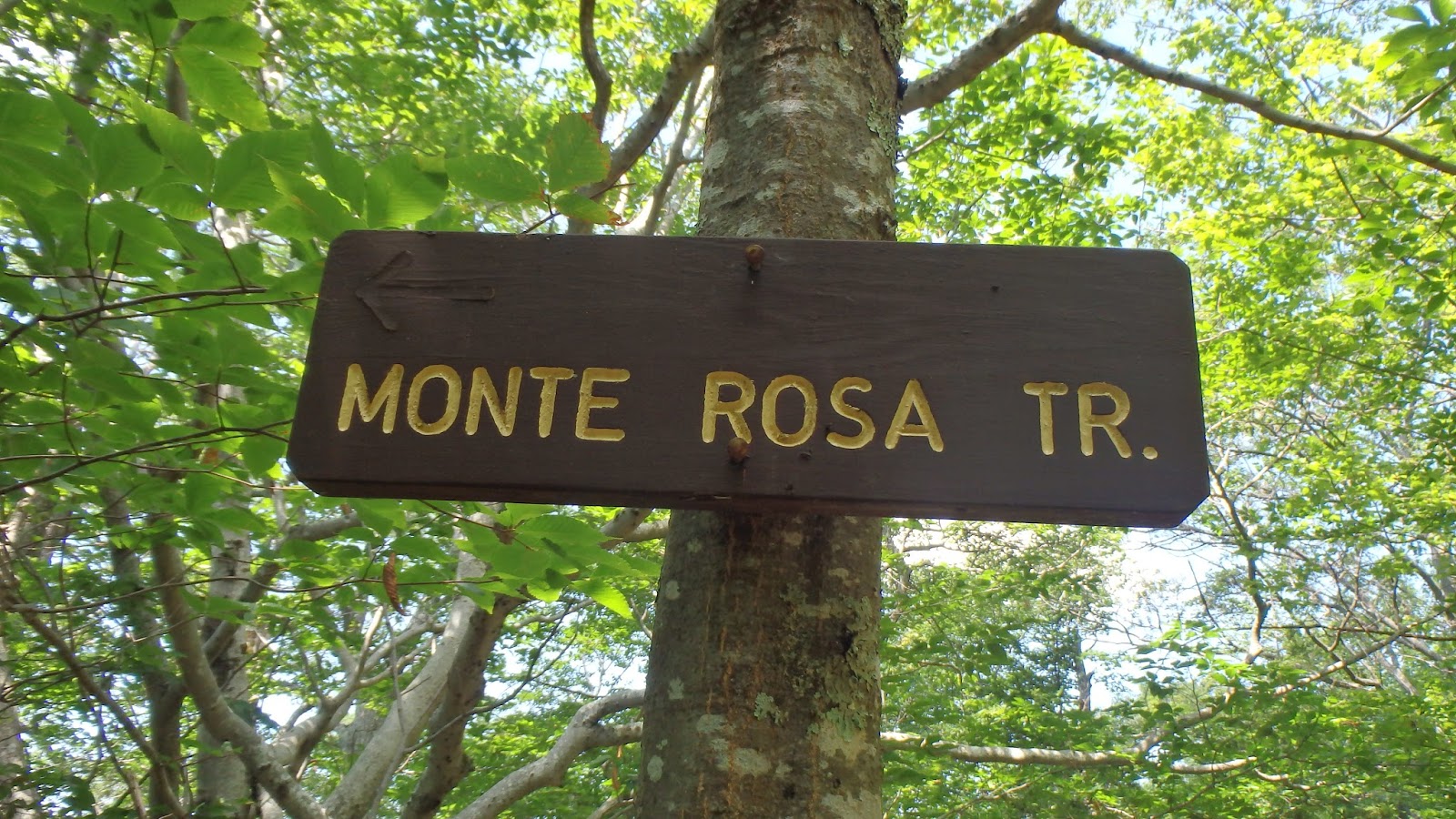
point I took the Monte Rosa Trail on the left to my first peak. The trail immediately
climbs steeply over roots, rocks and at times near cliff-like inclines. The views
from Monte Rosa’s 2,540 foot summit were well worth the effort. I rested there
for about a half hour and ate one of my usual peanut butter & onion
sandwiches before continuing my climb.


From Grand Monadnock I ran
down the Dublin Trail to Dublin Peak. This peak sits only a couple hundred yard
away 3,041 feet elevation.


Miller State Park is located off
of Route 101 near Peterborough, NH. This park was created in 1891 making it New
Hampshire’s first state park. The trailhead begins at the right rear of the
parking lot near the toilets. From there you can access the first summit by following
the paved road or climbing the Wapack Trail (yellow blazes) or Marion Davis
Trail (blue blazes). I took the Wapack Trail to the left since the Wapack
crests all three peaks. While the Miller State Park at Pack Monadnock map
(attached) lists only Pack Monadnock (2,290 feet) and North Pack Monadnock (2,276
feet), Middle Pack (1,968 feet) is clearly seen in the photo below. The first
half mile of the Wapack is very steep climbing rocky ledge before leveling off
somewhat before the final push to the summit. There is a 30 foot fire tower at
the peak from which you can see the Majestic Mount Monadnock to the west, Mount
Washington to the north and Boston once again. The Wapack continues north just
to the left of a stone shelter. There is a sign marking your arrival on North
Pack Monadnock but that’s about it. I took the Wapack Trail back to Pack Monadnock
and then Marion Davis Trail back to the parking lot. My total mileage for this hike
was 7.5 miles.


So there you have it, the
Monadnock 8 Peak Challenge: Monte Rosa (2,540’), Grand Monadnock (3,165’),
Dublin Peak (3,041’), Town Line Peak (2,884’), Bald Rock or Kiasticuticus Peak
(2,628’), Pack Monadnock (2,290’), Middle Pack Monadnock (1,968’) and North
Pack Monadnock (2,276’). If you are ever in southern New Hampshire go check them out. You won’t
be disappointed. Here’s a few more photos.


No comments:
Post a Comment